While riding my motorcycle up to Inuvik this summer I blew my radiator 10km into the Dempster highway. The thought of having to turn back and have this leg of my journey uncompleted was disappointing at best.
Last month when we attempted Northover Ridge we ran into heavy snowpack and had to turn back. For a month I had the same feeling of disappointment, call it OCD but with the snow season (in the mountains) fast approaching I didnt want to stew about it all winter. So, last weekend Ryan, Adam and I set out to attempt Northover again.
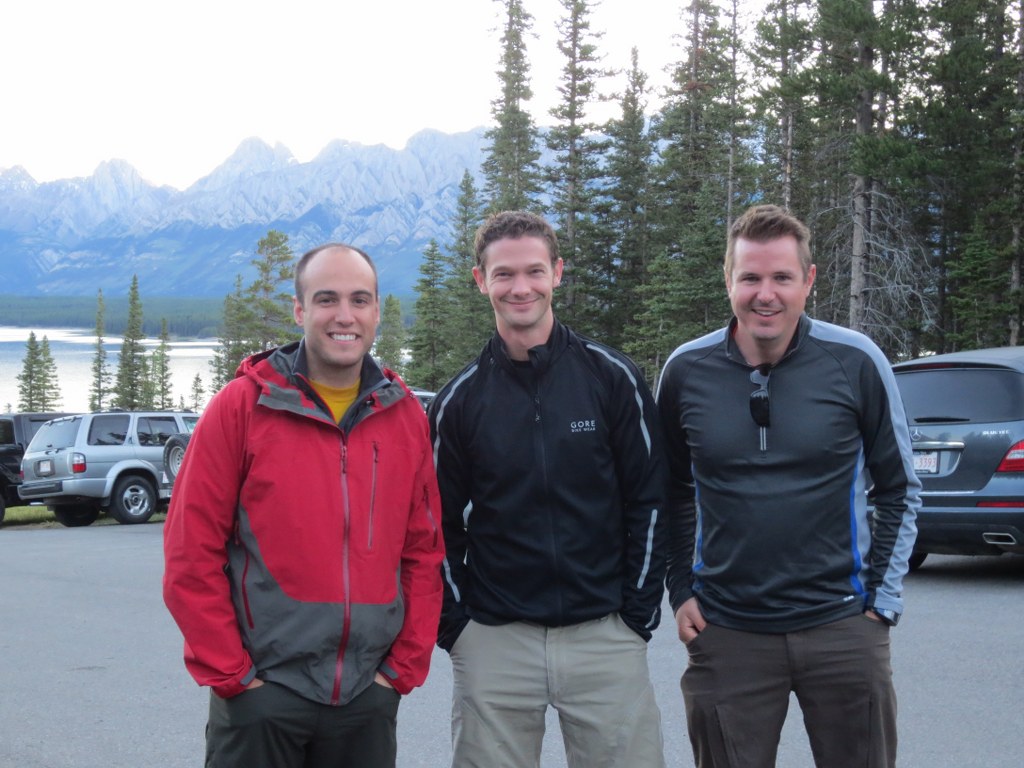
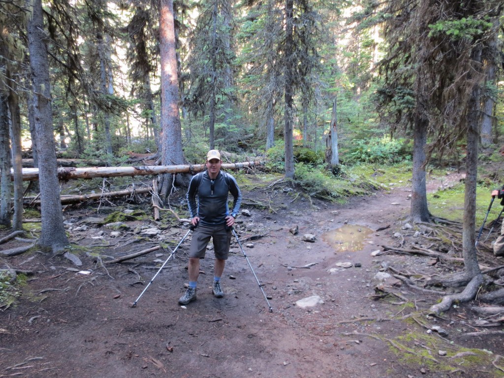
The plan was to get up early, complete the 35km circuit in a day, and drive back to Calgary. The weather forecast was sunny and cool, but heavy rain the past week was likely to translate to snow at higher elevations. Adam (who was on our original failed attemtpt), Ryan and I were before sunrise we were on the trial as the sun started to rise.
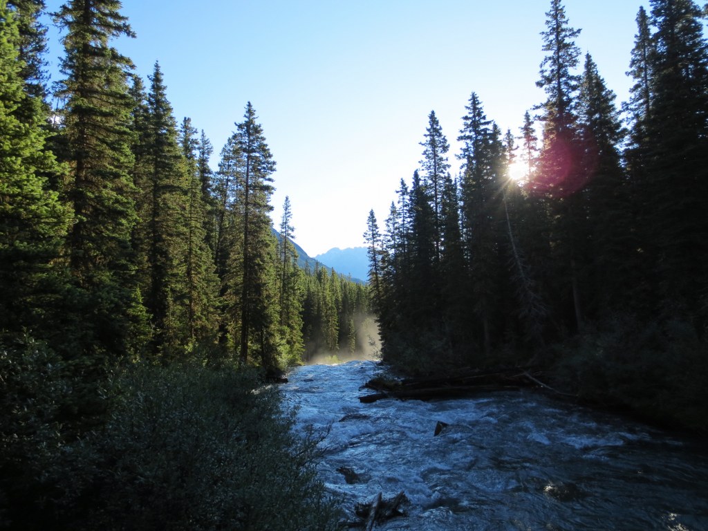
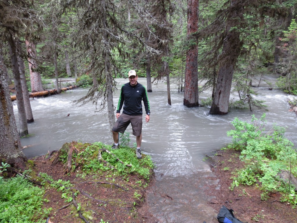
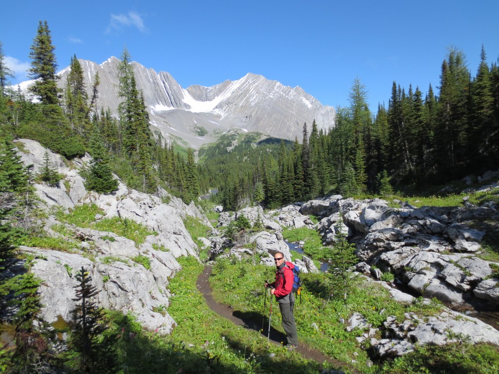
The water levels were significantly lower from last time:
Last time we were forced to wade through a raging creek, both pictures were taken from the same place one month apart, amazing what a month of warm weather does to the runoff.
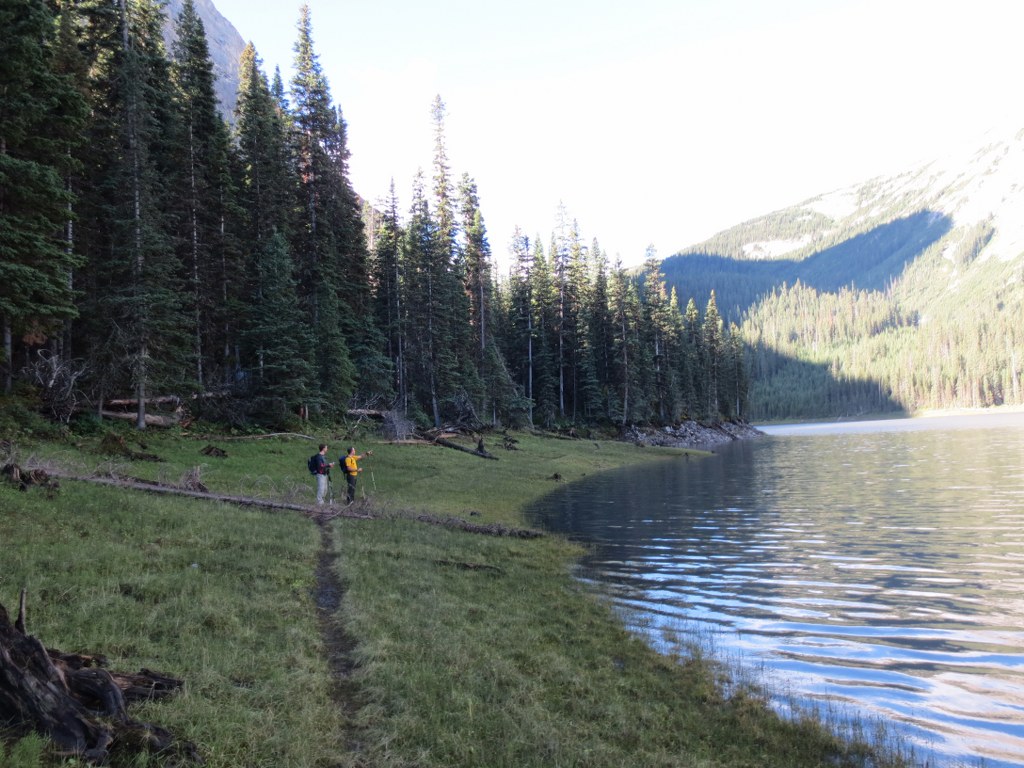
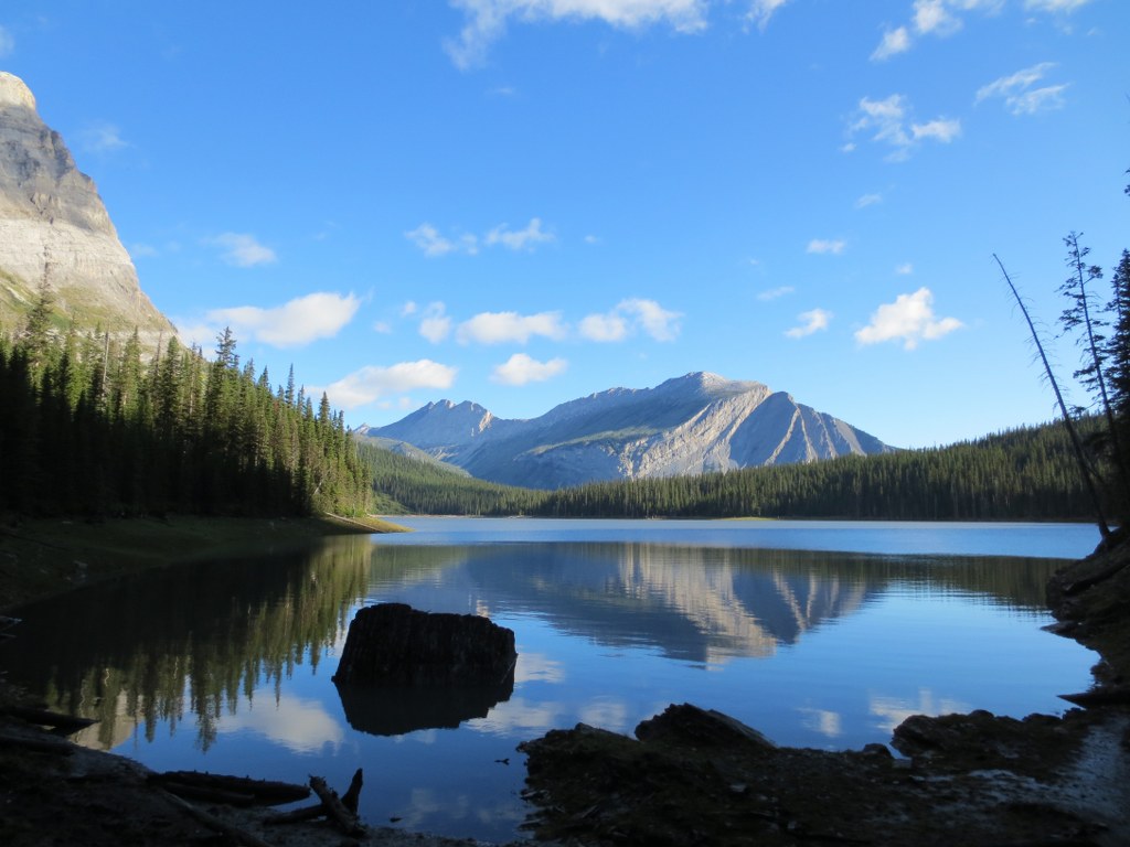
The water level at Hidden Lake was also much lower, low enough we could easily walk along the shore rather than bushwack through the woods. There is reason guide books say Northover is best hiked in August. The last time I was up here the water line was well into the forest, that’s at least 20 feet higher.
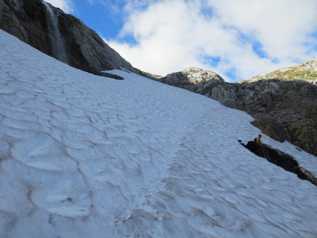
Hiking up to Aster Lake we reached the impeding snow pack that turned us back during the last attempt. A stream of meltwater runs under the snowpack and carved a large cavern. The snow pack was much smaller, but still offered the challenge of either walking over the cavern, or climbing around the pack and up a steep wall. Now wanting to fall through the ice, we decided on climbing around. If we had packs the climb around would have been extremely challenging.
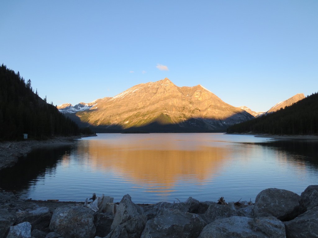
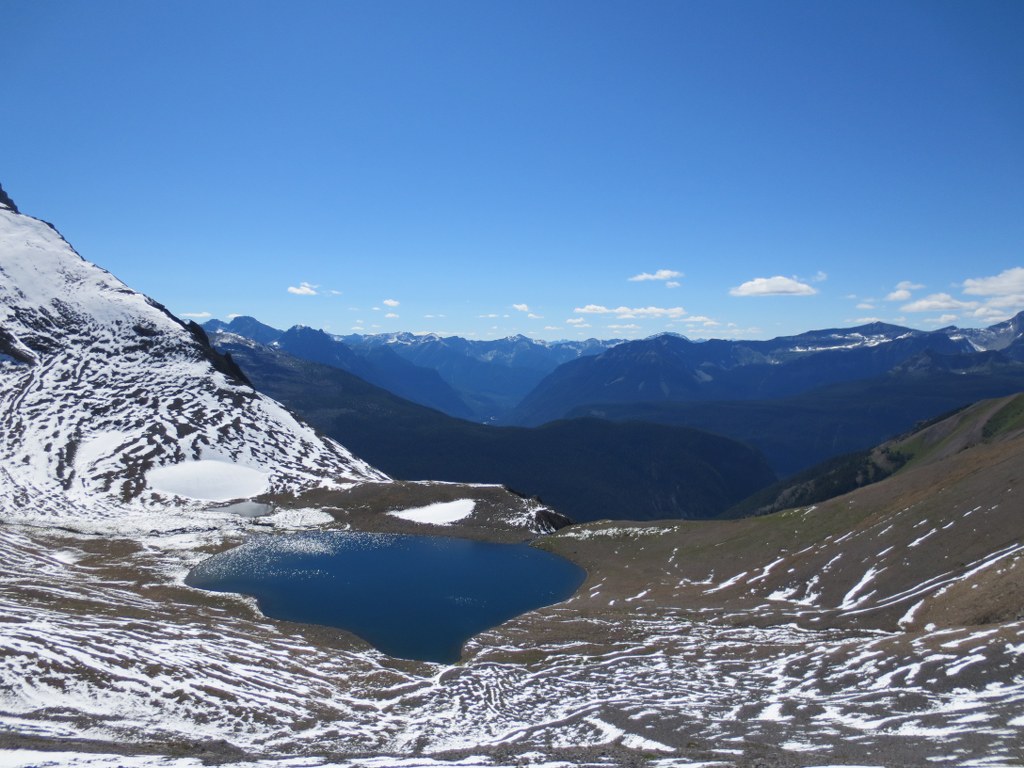
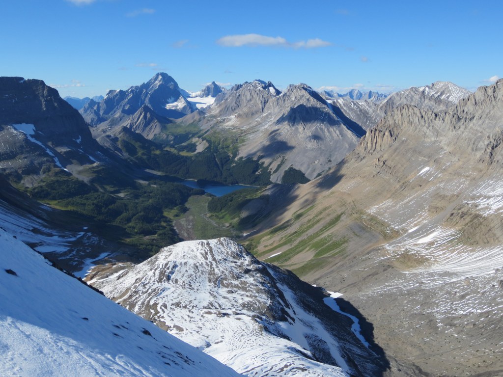
Once on top of the Aster Lake headwall the view back towards Hidden Lake and Upper Kananaskis Lake was stunning. We were about 3 hours into the hike and completed about 8.5km.
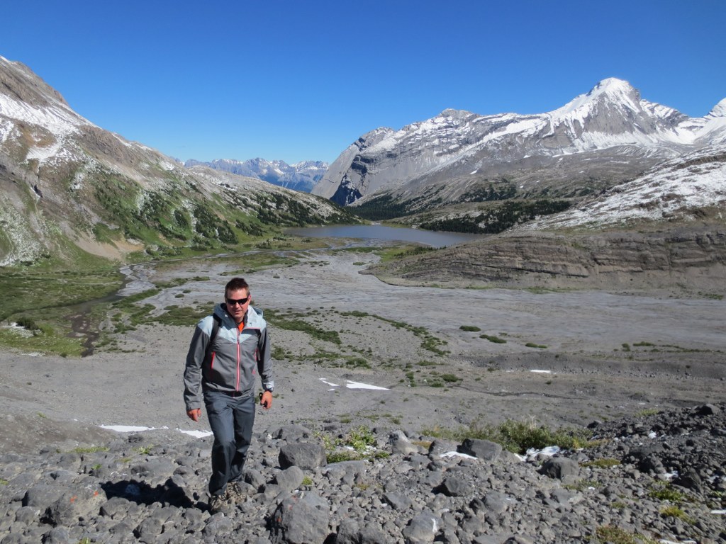
It was another hour hike to Aster Lake where we were told by a group of campers that a mother Grizzly and her cub had come by 45 minutes earlier.
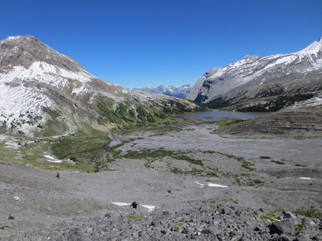
We loaded up on water at Aster and started the ascent across a scree field to the Northover base.
Even with 2 GPSs and 2 topo maps we made a navigational miscalculation. Instead of taking the valley path towards Northover, we started climbing Warrior Mountain, this miscalculation would cost us a few hours, sliding down the back side of Warrior into the Northover Tarns and back up Northover.
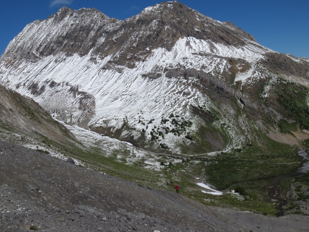
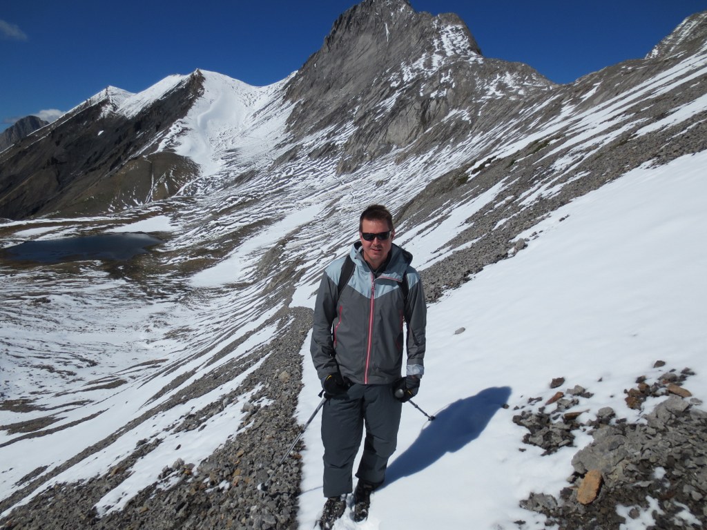
It had snowed 10cm the previous night and we were stating to reach the snowline.
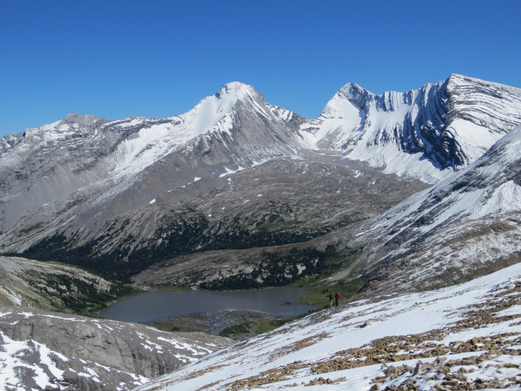
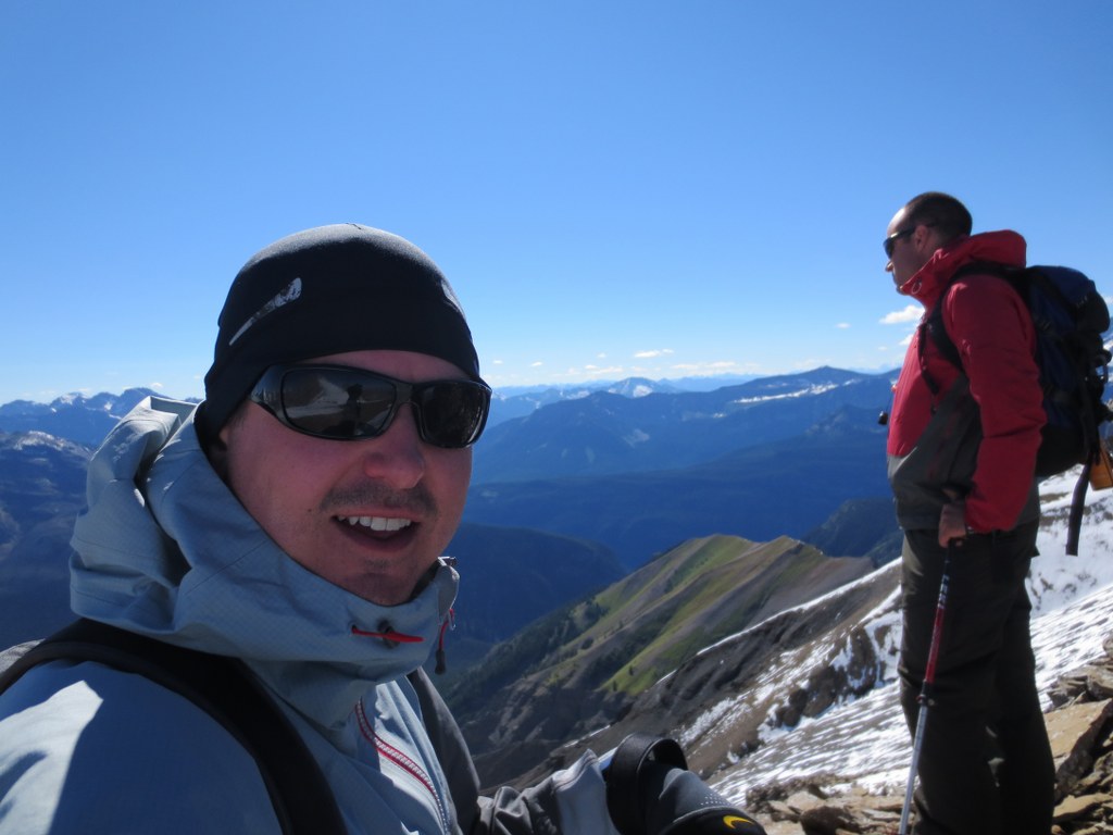
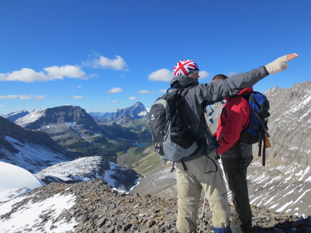
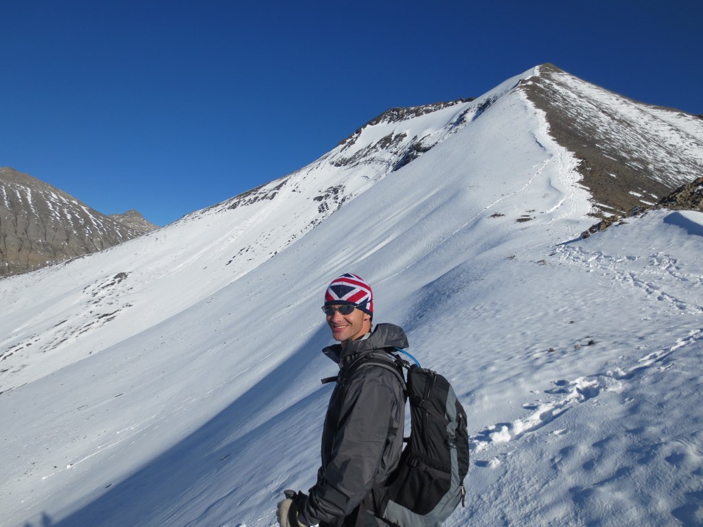
Adam points towards Northover mountain, you can see the faint trail that heads up the side towards Northover ridge on the left. The ridgeline is the border between Alberta and BC.
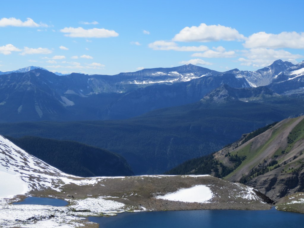
Some hikers we passed were setting up camp at the Northover Tarns, you can see their tents setup on the below zoomin:
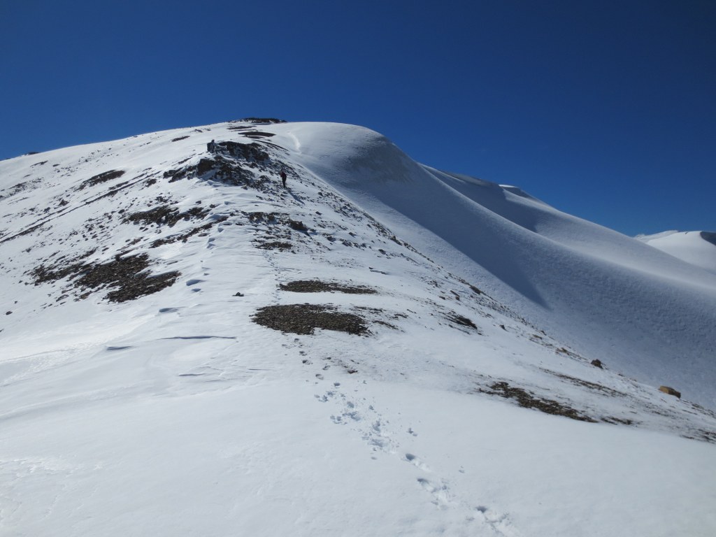
From the Tarns it was a few hour hike through slush to the top of the ridge. It was discouraging to know we had already climbed this elevation back on Warrior, having to do it again on Northover.
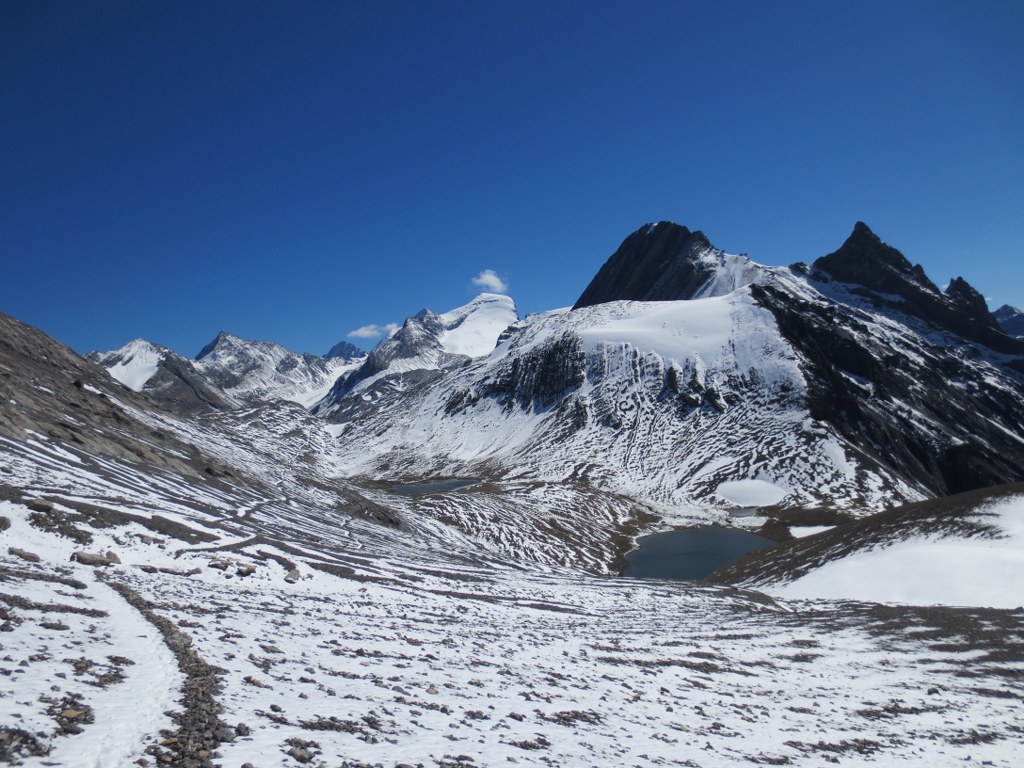
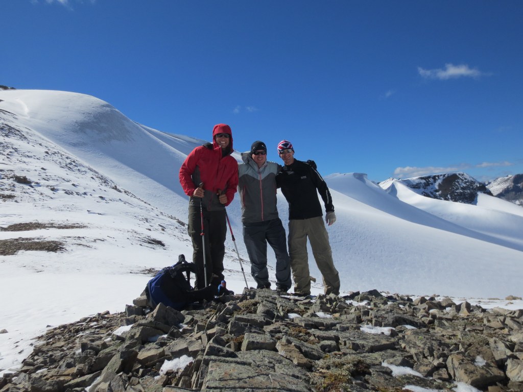
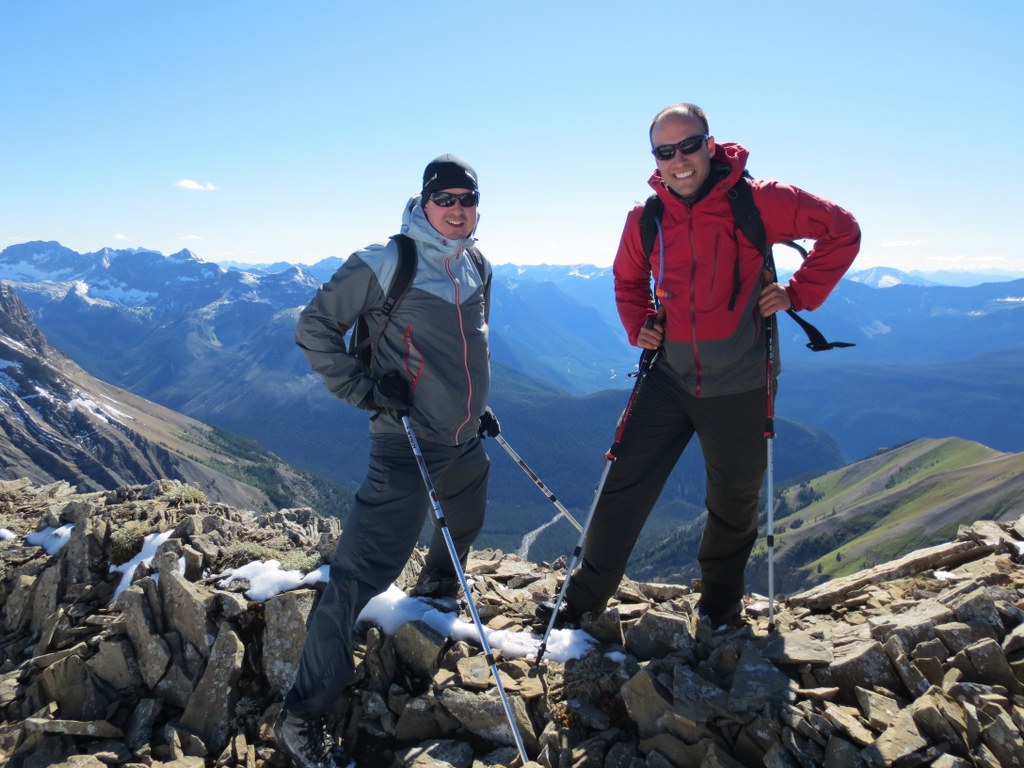
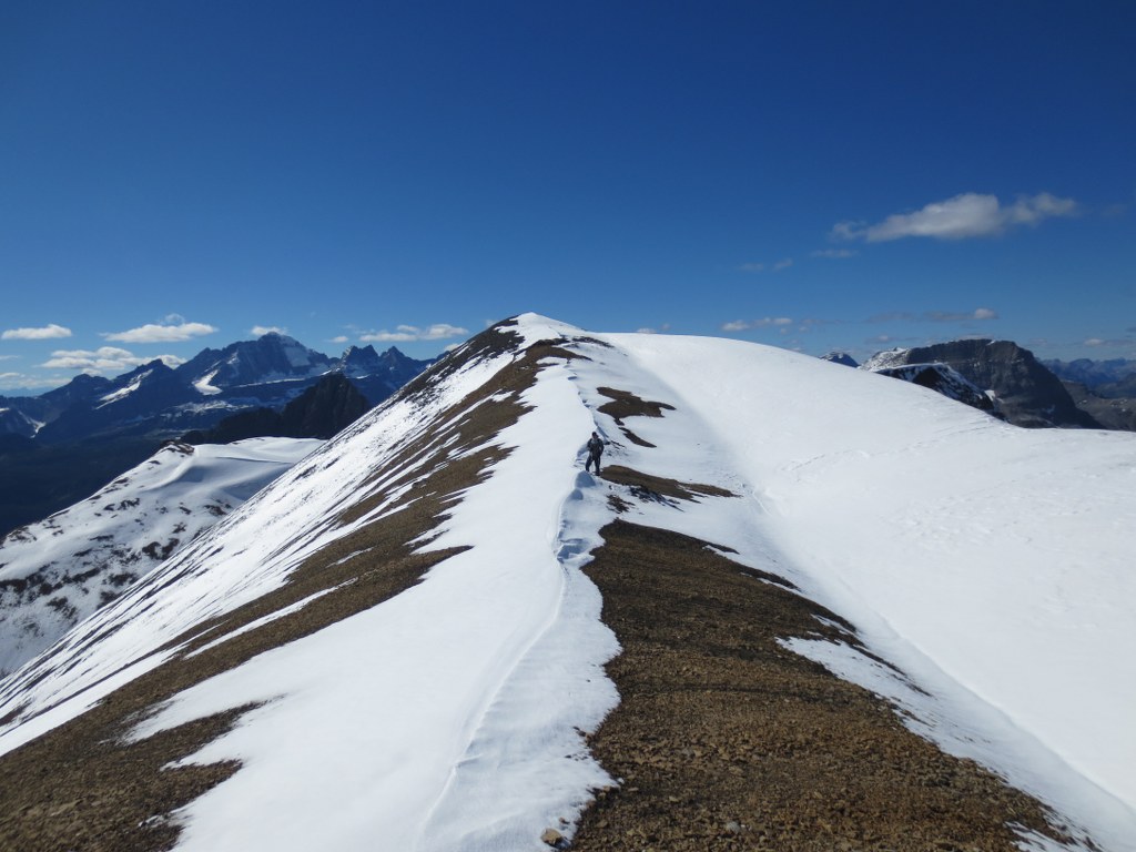
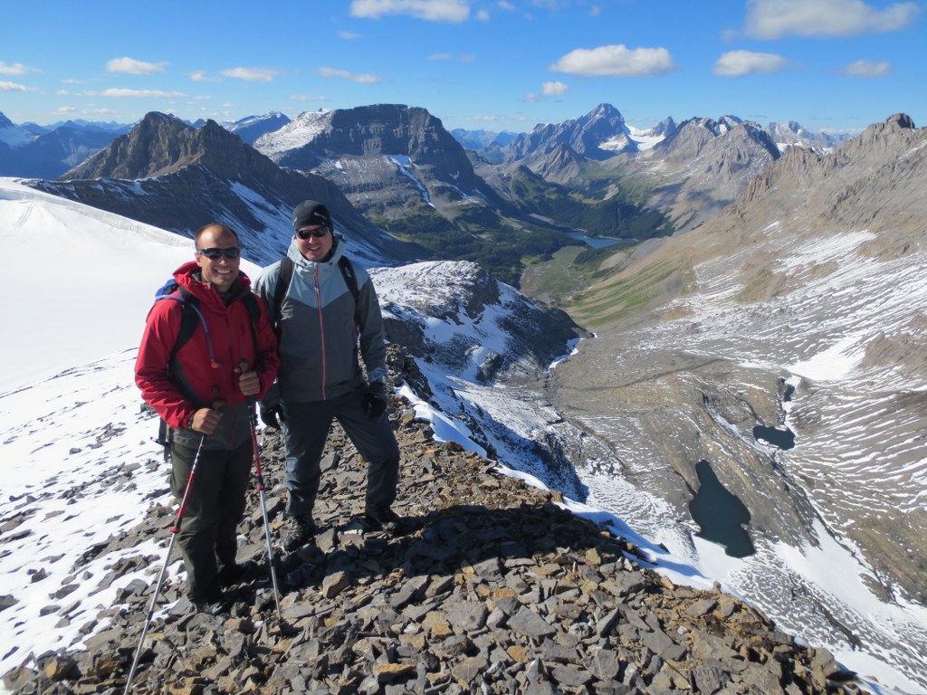
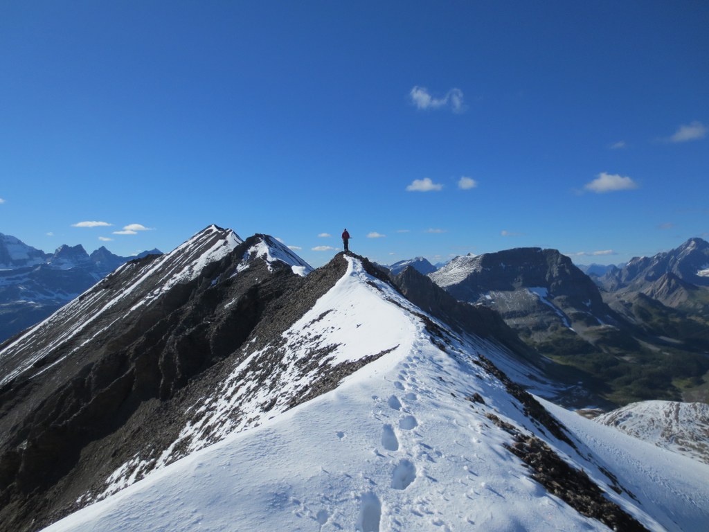
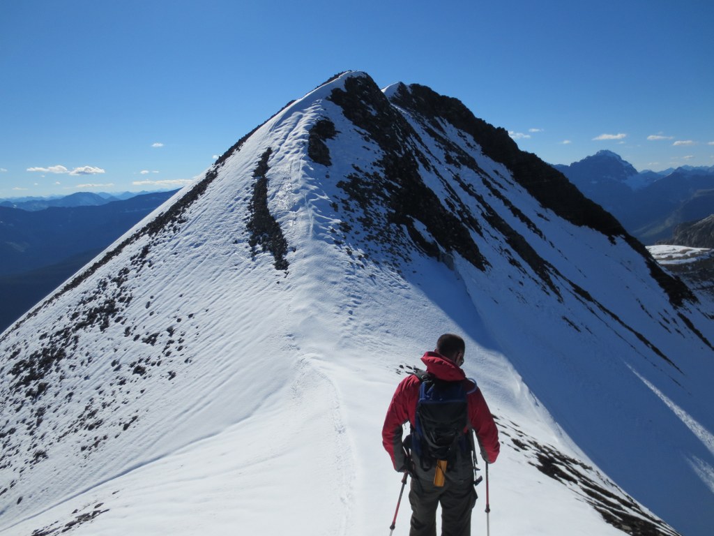
The top was stunning with all the fresh snow, but a bit discouraging knowing we would have to traverse the ridge with wet slipperly snow covering the ridge.
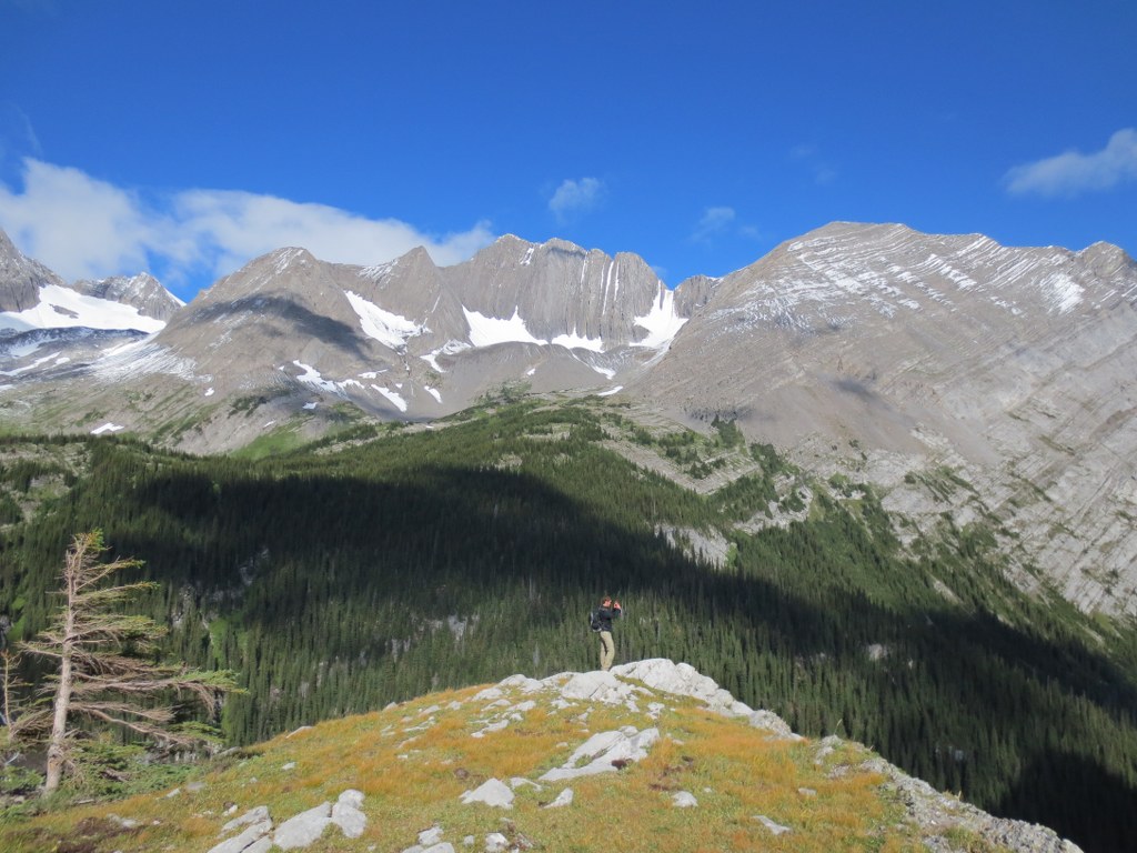
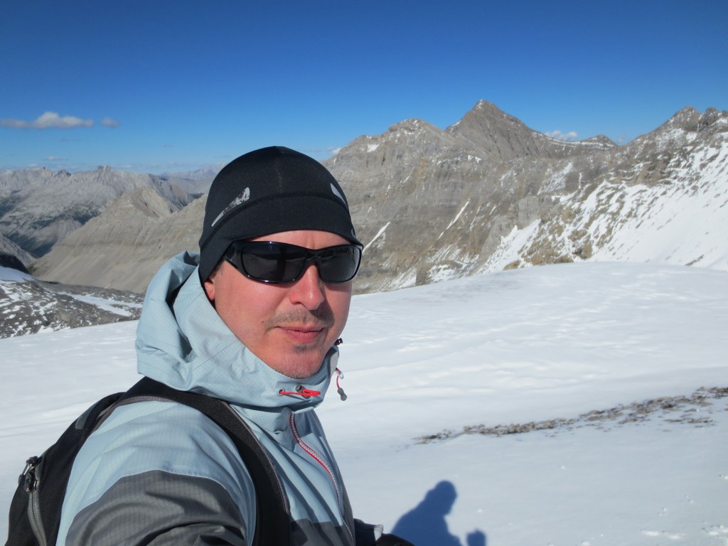
Looking into the BC side was green and heavily treed, the Alberta side was steep, rocky and void of anything but rock and snow. Amazing how this ridgeline impacts the micro climates below.
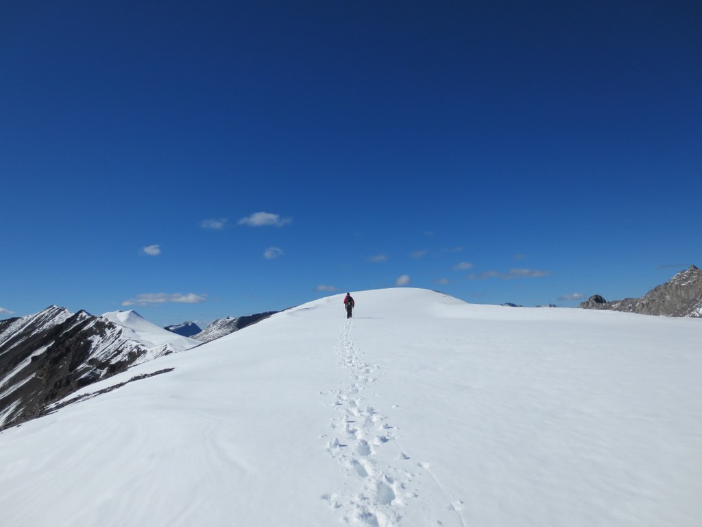
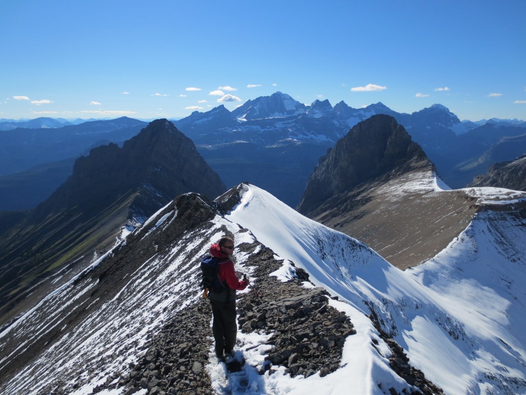
For large sections the ridge flattens out and is easy to walk along.
The ridge is about 10km, towards the end you can start to see Three Isle Lake
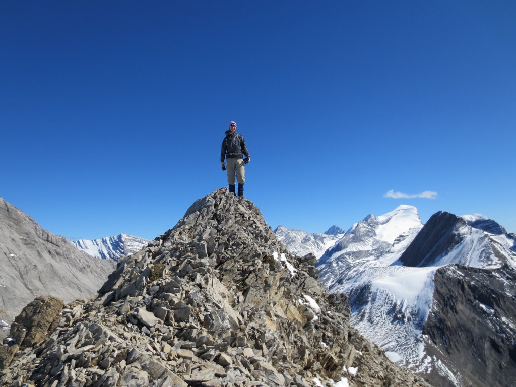
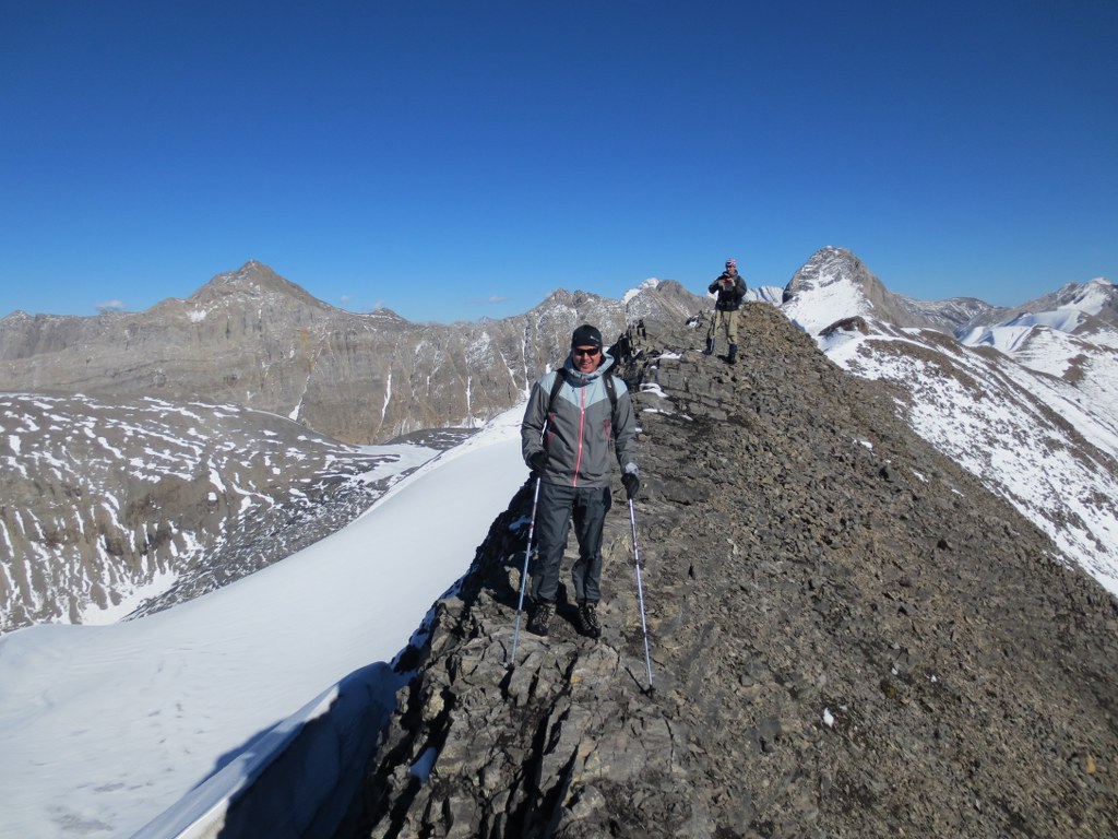
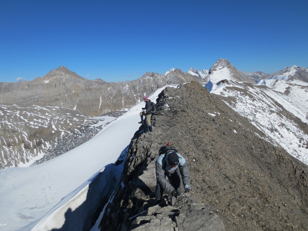
The Ridge starts to get much narrower, heavy packs or high winds would make this section extremely sketchy
Down from the Ridge and into the valley towards Three Isle Lake. My feet were soaked from the slush and the temperatures were dropping as the sun got low.
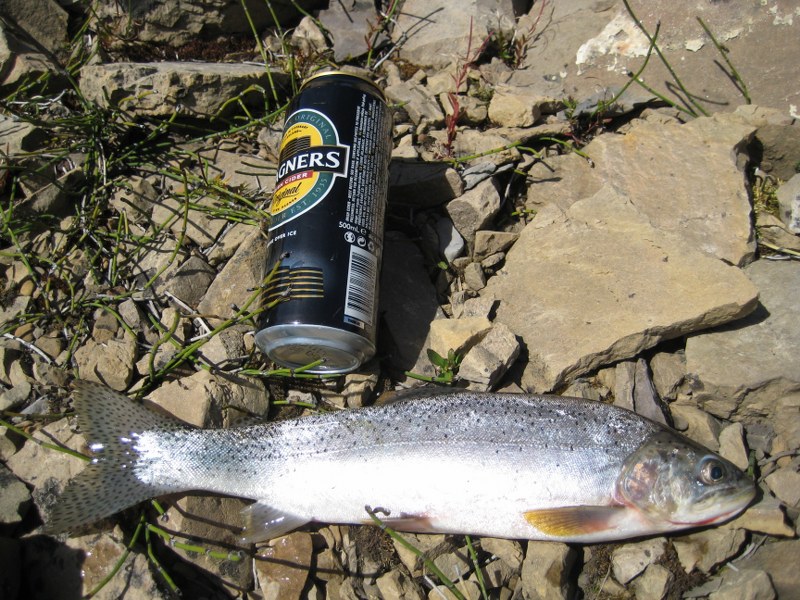
Three Isle has a healthy stocked Trout population. Last year we pulled a number of nice trout out of the lake. We only hiked to Three Isle and had large packs for a few nights camping, the ridge would be significantly more challenging with too much gear.
This year there was no time, but you could see them jumping. Walking along the shore a curious trout actually jumped almost out of the lake at me as my shadow must have attracted him. From here its downhill, but it was getting late, and we were getting tired.
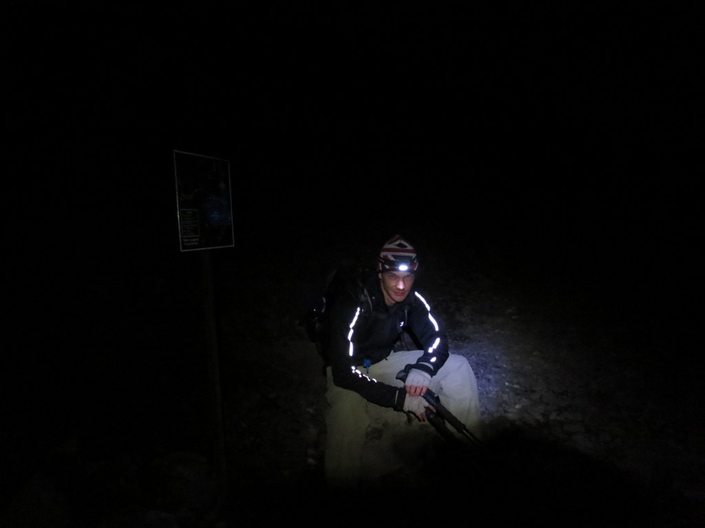
By the time we got back to the car it was dark and we were exhausted. What should have been a 12 hour hike was 17 hours.
- Last 2 hours in the dark
Overall the hike was well worth it, perfect weather. Unfortunately none of us were too into any of the celebratory beers we left in the car.

