In 2004 I purchased a used Kawasaki KLR 650 with the dream of touring the world on a motorcycle. Like many before, the realities of life quickly got in the way of those plans. I had a decent job for someone in their mid 20s, yet didn’t really have enough capital acquired to drop everything and live on the road for 6 moths.

A few years of riding and by 2007 I was ready to plan a trip. John, a friend of mine, had just finished a trip to Mexico and loved the idea of riding through the endless desert landscape of Baja. My other buddy Ryan had just left his job and the timing sounded perfect to take some time and hit the road. I took a month leave from work and we planned a trip from Calgary, Alberta, Canada to Cabo San Lucas, Mexico.

Ryan would be riding a road bike so we would be somewhat limited to the slabs of concrete (or asphalt) that connect Canada to the tip of Baja. Planning was loose and I like it that way. Staying to a schedule leaves opportunity to fall behind, feel rushed or skip places you would otherwise stay another day. We planned a few destinations including visiting friends in Vegas on the way down and San Francisco on the way back. A mutual friend of ours was getting married in Penticton, BC, so we knew we had to be back for the wedding. My girlfriend (now wife) was going to drive out to BC to meet us for the wedding (and bring my suit to avoid me having to lug it 10,000km)

So it was planned, we leave August 20, 2007 for a 10,000km roadtrip to Cabo and back:

Planned Trip to Cabo and back

Planned Trip to Cabo and back

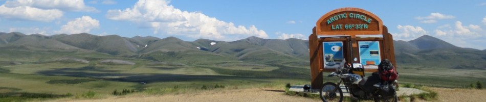
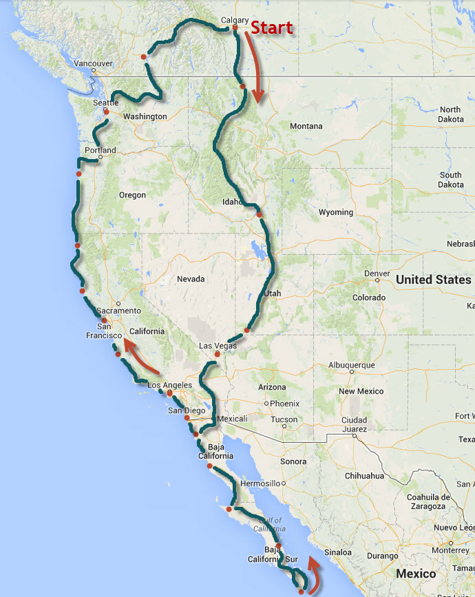
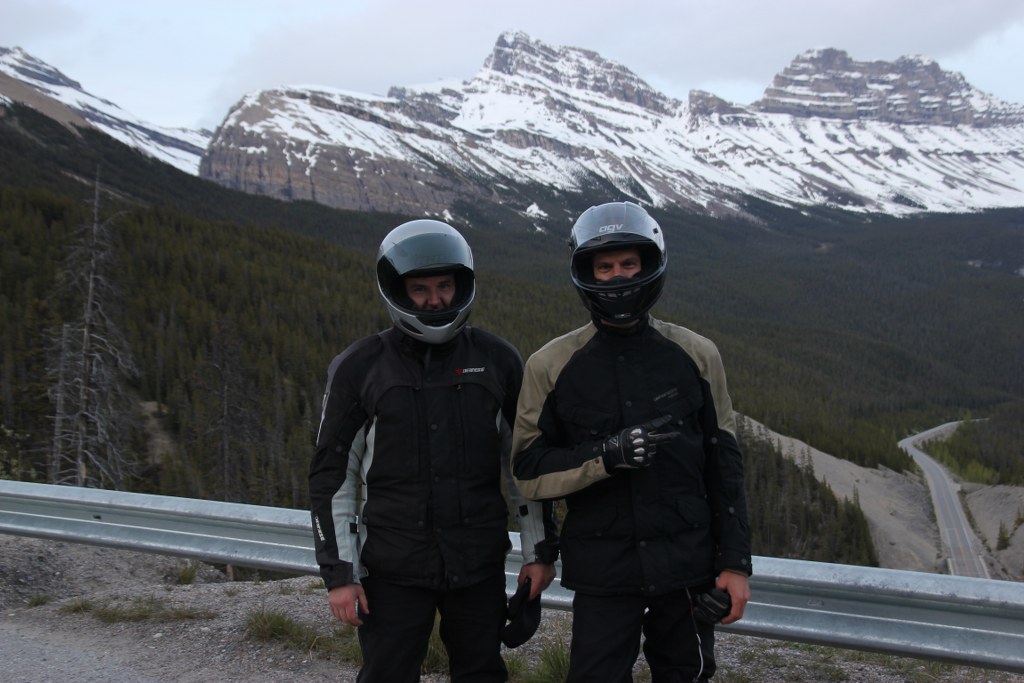
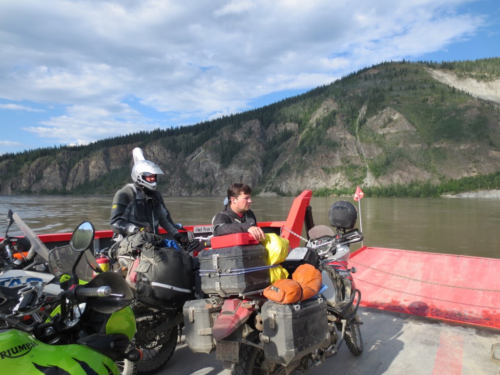
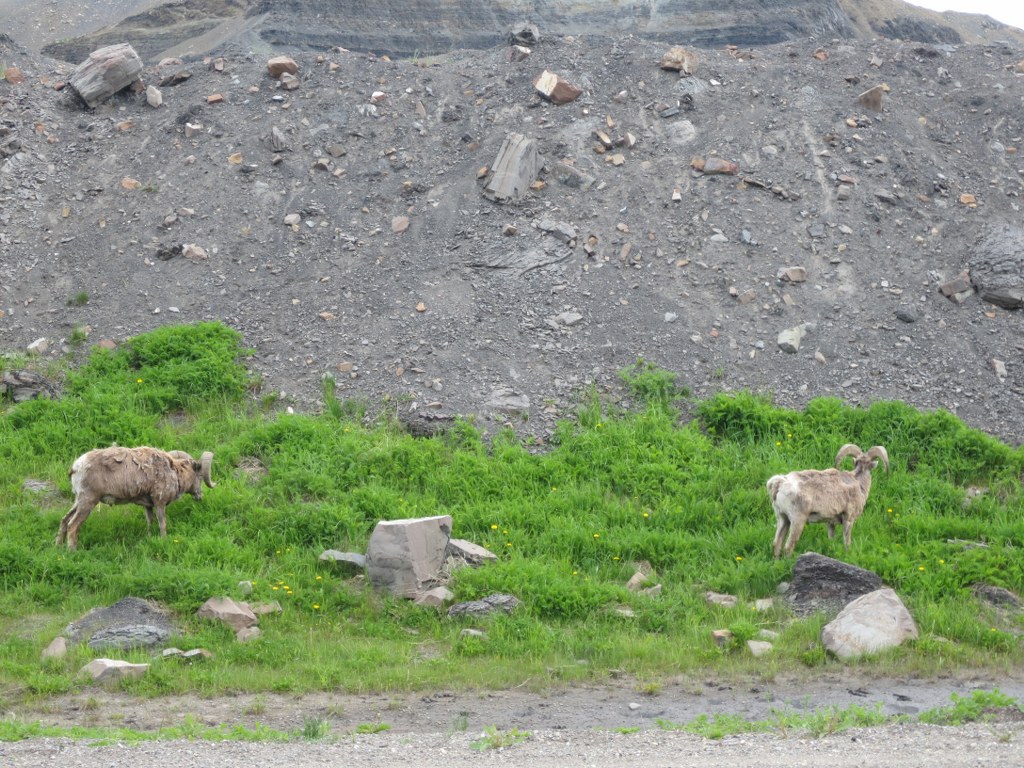
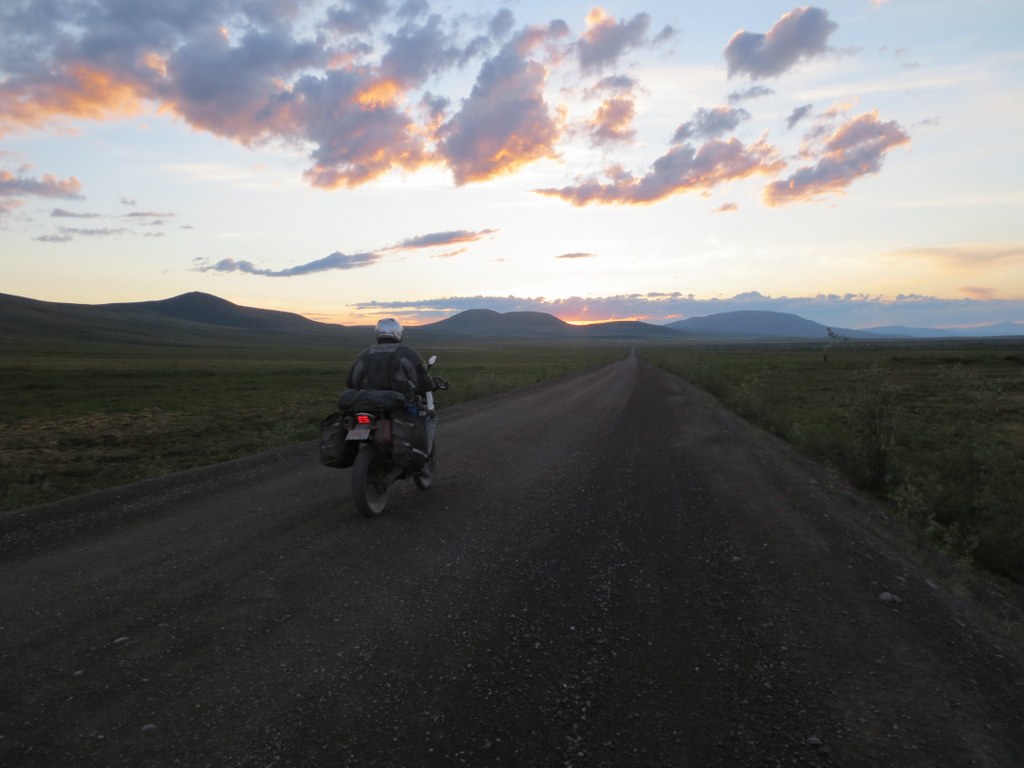
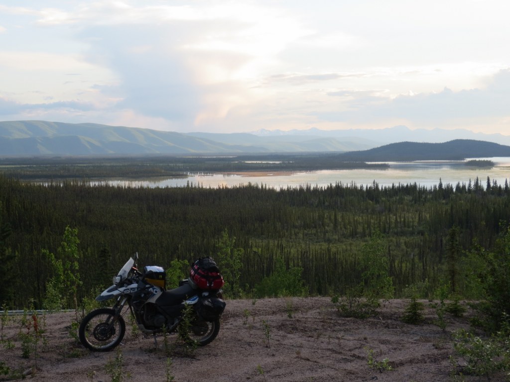
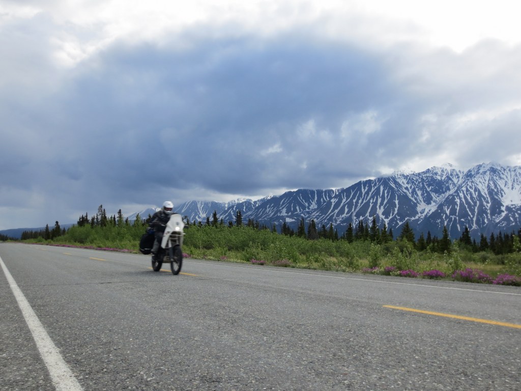
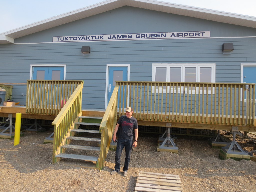
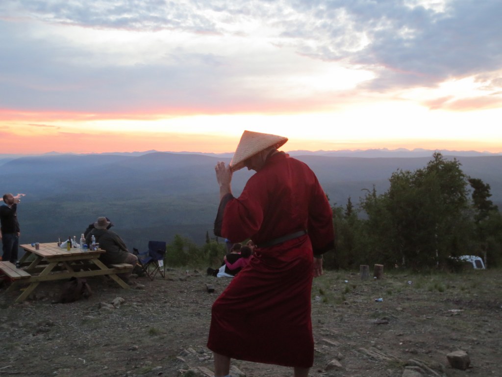
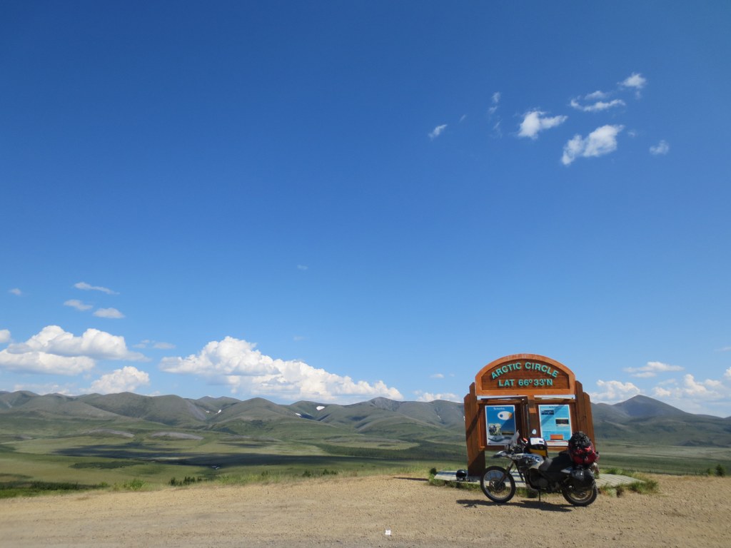
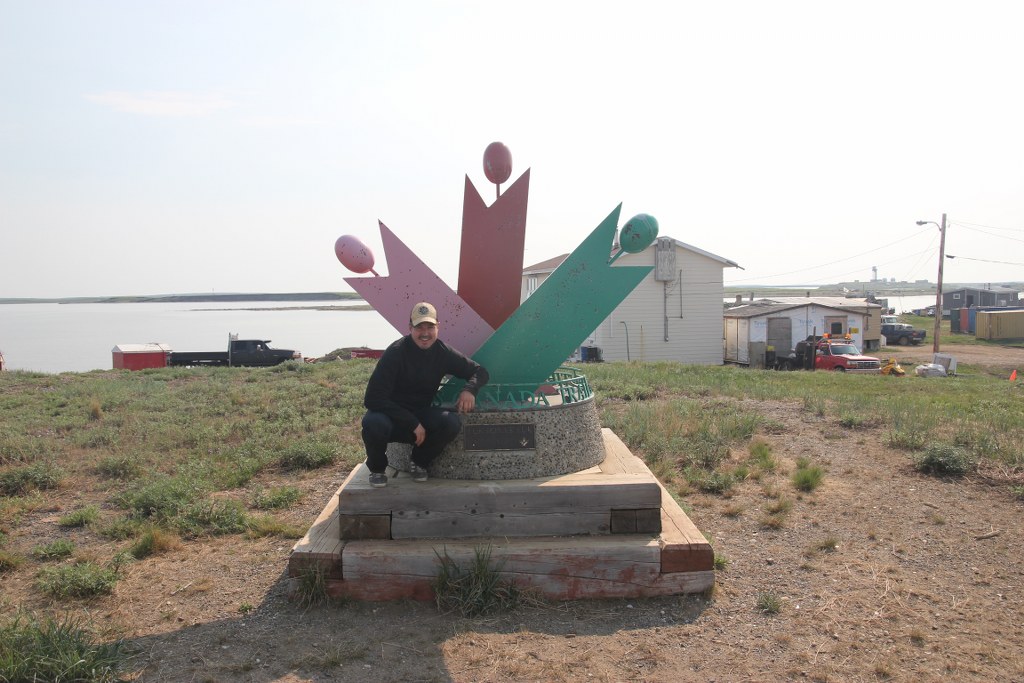
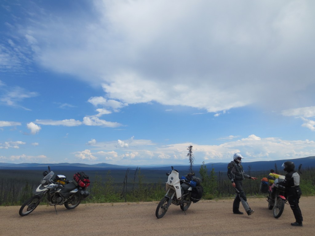
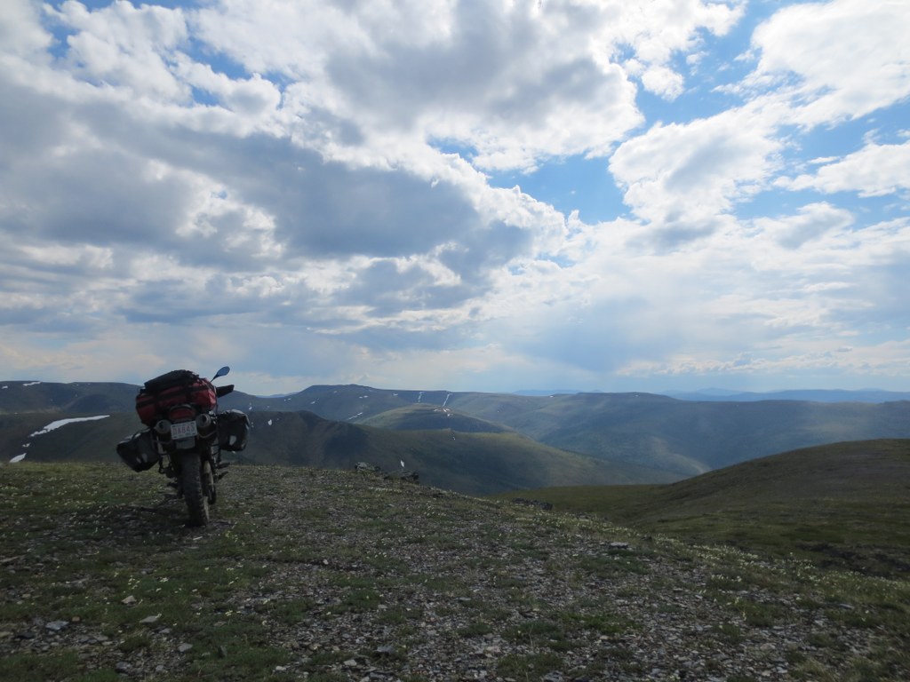
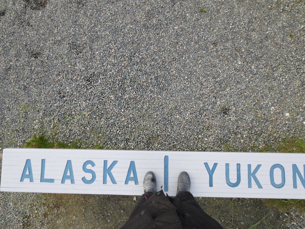
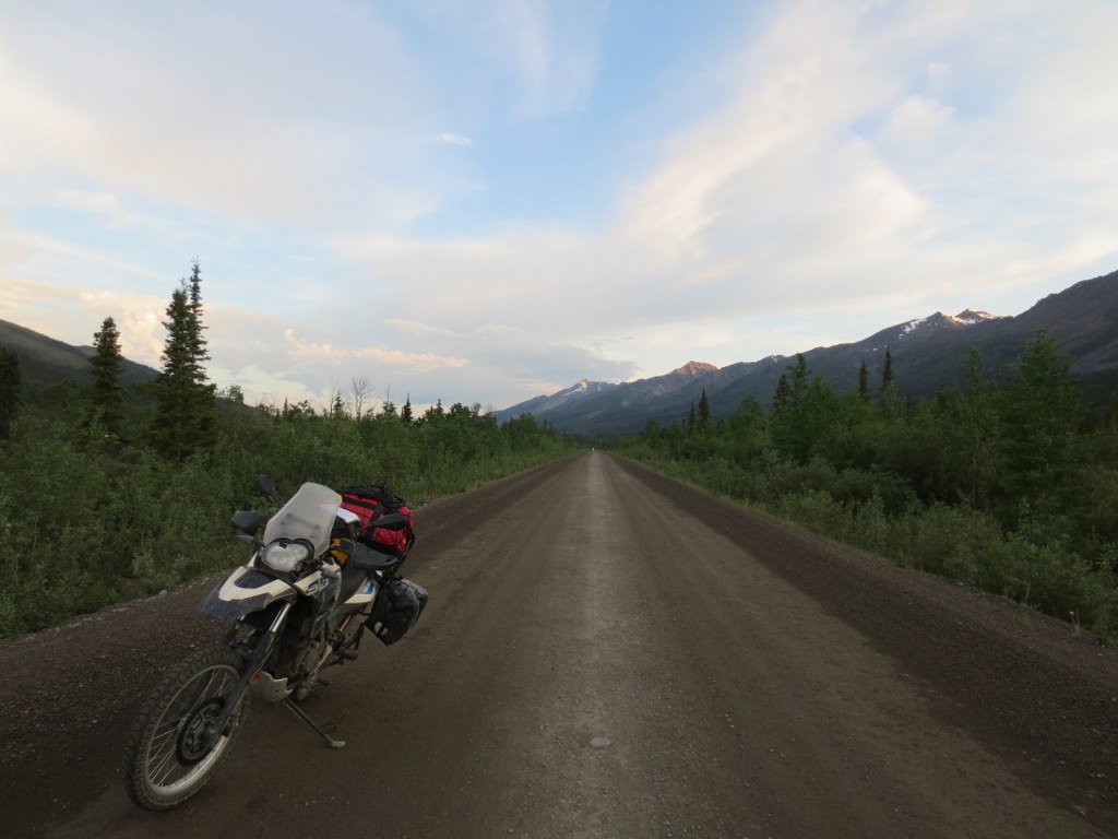
While riding my motorcycle up to Inuvik this summer I blew my radiator 10km into the Dempster highway. The thought of having to turn back and have this leg of my journey uncompleted was disappointing at best.

Last month when we attempted Northover Ridge we ran into heavy snowpack and had to turn back. For a month I had the same feeling of disappointment, call it OCD but with the snow season (in the mountains) fast approaching I didnt want to stew about it all winter. So, last weekend Ryan, Adam and I set out to attempt Northover again.

The plan was to get up early, complete the 35km circuit in a day, and drive back to Calgary. The weather forecast was sunny and cool, but heavy rain the past week was likely to translate to snow at higher elevations. Adam (who was on our original failed attemtpt), Ryan and I were before sunrise we were on the trial as the sun started to rise.

The water levels were significantly lower from last time:

Last time we were forced to wade through a raging creek, both pictures were taken from the same place one month apart, amazing what a month of warm weather does to the runoff.

Water Level in July

Water Level in August

The water level at Hidden Lake was also much lower, low enough we could easily walk along the shore rather than bushwack through the woods.  There is reason guide books say Northover is best hiked in August.  The last time I was up here the water line was well into the forest, that’s at least 20 feet higher.

Hidden Lake Trail

Hidden Lake at the base of the Aster Lake ascent


Hiking up to Aster Lake we reached the impeding snow pack that turned us back during the last attempt.  A stream of meltwater runs under the snowpack and carved a large cavern.  The snow pack was much smaller, but still offered the challenge of either walking over the cavern, or climbing around the pack and up a steep wall.  Now wanting to fall through the ice, we decided on climbing around.  If we had packs the climb around would have been extremely challenging.

Snow Pack from Last Year

Once on top of the Aster Lake headwall the view back towards Hidden Lake and Upper Kananaskis Lake was stunning.  We were about 3 hours into the hike and completed about 8.5km.

Hidden Lake with Upper Kananaskis Lake in the distance

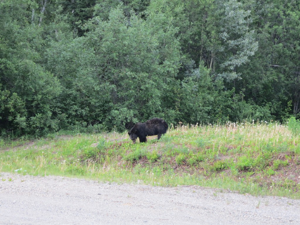
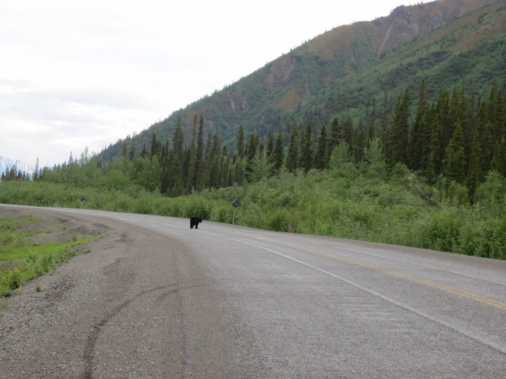
It was another hour hike to Aster Lake where we were told by a group of campers that a mother Grizzly and her cub had come by 45 minutes earlier.

Trail up to Aster Lake

We loaded up on water at Aster and started the ascent across a scree field to the Northover base.


Scree Field up to Northover Summit

Even with 2 GPSs and 2 topo maps we made a navigational miscalculation.  Instead of taking the valley path towards Northover, we started climbing Warrior Mountain, this miscalculation would cost us a few hours, sliding down the back side of Warrior into the Northover Tarns and back up Northover.

Ridge Towards Warrior Mountain with Northover valley in the distance

It had snowed 10cm the previous night and we were stating to reach the snowline.

Aster Lake in the distance

Adam points towards Northover mountain, you can see the faint trail that heads up the side towards Northover ridge on the left.  The ridgeline is the border between Alberta and BC.

Northover Mountain in the distance with the ridgeline to the left

Sliding Down to Northover Tarns

Walking up the slopes to Northover Ridge

Looking back to Warrior mountain where we climbed mistakenly

View out to BC

Some hikers we passed were setting up camp at the Northover Tarns, you can see their tents setup on the below zoomin:

From the Tarns it was a few hour hike through slush to the top of the ridge.  It was discouraging to know we had already climbed this elevation back on Warrior, having to do it again on Northover.

The top was stunning with all the fresh snow, but a bit discouraging knowing we would have to traverse the ridge with wet slipperly snow covering the ridge.

Start of the Ridge

Looking into Purcell Range in BC

Looking into the BC side was green and heavily treed, the Alberta side was steep, rocky and void of anything but rock and snow.  Amazing how this ridgeline impacts the micro climates below.

Along the Ridge

For large sections the ridge flattens out and is easy to walk along.

The ridge is about 10km, towards the end you can start to see Three Isle Lake

Three Isle Lake in background

The Ridge starts to get much narrower, heavy packs or high winds would make this section extremely sketchy

Watch your footing, slipping off could easily be fatal

Down towards Three Isle

Down from the Ridge and into the valley towards Three Isle Lake.  My feet were soaked from the slush and the temperatures were dropping as the sun got low.

Three Isle Lake

Three Isle has a healthy stocked Trout population.  Last year we pulled a number of nice trout out of the lake. We only hiked to Three Isle and had large packs for a few nights camping, the ridge would be significantly more challenging with too much gear.

2011 with packs


Trout pulled from Three Isle


This year there was no time, but you could see them jumping.  Walking along the shore a curious trout actually jumped almost out of the lake at me as my shadow must have attracted him.  From here its downhill, but it was getting late, and we were getting tired.

Three Isle headwall

By the time we got back to the car it was dark and we were exhausted.  What should have been a 12 hour hike was 17 hours.

Last 2 hours in the dark

Overall the hike was well worth it, perfect weather.  Unfortunately none of us were too into any of the celebratory beers we left in the car.

With my calf muscle still in recovery, I thought it would be a good opportunity to do some cross training.  Trent has been gearing up for the Bow 80 mountain bike race, so he thought it would be a good confidence booster to bring me out for a ride and punish me.

One would think biking and jogging are similar, both using leg muscles with a dependency on cardiovascular fitness.  But biking muscles and jogging muscles are two very different things (at least in my non-expert experience).

After punishing me on Moose Mountain last week, leaving me with broken self esteem and a broken crank, I thought I would try to keep up this week.  Having Stampede far enough in the rear view mirror means I should at least start getting back to an acceptable level of fitness.

The results from last weeks ride

Trent, Doug, Rob and I decided to run the long loop, I was by far the slowest of the group, but I felt my fitness level coming back compared to last week.  I’m not sure what skill level is required to start wearing spandex, I hope I never get that good.

I thought I was taking video down the long declines, but it turns out the camera was just taking stills.  By the time I figured it out, most of the steep downhills were done.  As always I came back with a few bruises, going over the handle bars once, I’m thinking I need to trade the hardtail in for something with a better suited suspension.

Opps, not set to video mode

At the end of the ride Doug broke his BBQ and we had a few beers and burgers, good way to end the 22km ride.


Two days before leaving for Northover I decided to jog home from work as a warm-up and pulled my calf muscle.  So a day before I went in for some physio and ended up getting acupuncture.  I’ve never had acupuncture before, but figured I would do whatever it takes to be in game shape for the hike.  It ended up feeling great the entire hike, quite impressed.

With the forecast looking unpredictable, we headed out Friday after work and stopped off at the Stony Nakoda Casino for some carb loading.  Adam had 5 pieces of cake and washed it down with a beer, I knew at that point it was on.  Ashley and Lucy joined us for dinner then headed back to Calgary.

Carb Loading

Getting out to the mountain late meant there were no campsites left, so we decided to pitch a tent in a day use area knowing we would be up and out early the next morning.  Friday night it absolutely poured and the wind howled.  None of us got very good sleep and Glen left his hiking boots out in the rain.

The morning was cool and windy, but we decided to head out and see how far we can get.  The Traverse can be very dangerous if its wet or windy, so we knew turning back could be a possibility.  We made a big breakfast knowing it could be our last real meal until the evening.  Knowing that Bears like fish, we stuck to bacon and eggs for breakfast.  I haven’t ever seen Discovery channel footage of a Grizzly taking down a wild pig, so we figured it was safe to cook up.

Sunrise

Up at 5am


Breakfast

At 7:30 we hit the trail, within 20 minutes it was warm and in the trees the wind was dead.


There was a sign before heading out warning that some of the trail was flooded, with a 2 hour detour, after a couple hours in we came across the first stream crossing.  Usually this section crosses over a trickle of water, not even large enough for a bridge, but with all the rain and heavy snowpack in the mountains it was a fast moving river.

Flood

We hiked up to where the trail was flooded and found a section we thought we could cross.  We tested the depth and it was about waist deep so we decided to wade across.  The water was freezing and the current strong, but was by no means dangerous.  We saved a few hours by not hiking around, and it was a good opportunity to ice my calf muscle which was doing great.

Adam crossed first


We waded to an island in the middle, then Adam and Glen waded the last section which was much deeper, while I decided to walk the fallen log.  I made it without falling, but it could have been a bad decision if i slipped off.

Across the other side

We missed the fork in the trail due to the flooding and missed the turn to Hidden Lake.  We walked about 1km past before we realized it, but decided to take a small game trail shortcut instead of backtracking.  The trail around hidden lake was brutal, because the official trail was under water, the trail we took wasnt much better than bushwacking.  Every 20 meters was another fallen log(s) to climb over, the forest was thick and wet and mosquitoes were out.  Everyone was hoping we wouldn’t have to come back through this trail.

At the end was the climb to Aster Lake.

Water fall below Aster Lake

Hidden Lake with Upper Kananaskis Lake behind it.

We got up to the last crest before Aster Lake when we hit a few streams to cross, then a large Snow Field.  This year had heavy snow fall, and a cool spring which meant the trail was a few feet under snow.  With a steep grade of around 45 degrees we debated the best way to get across.  Adam, being the most capable climber decided to go across first and see if there was any way around.  We thought we could use the back wall to pull us up, but there was a 6 foot crevass between the snow and wall.  The snow had a waterfall running into it, and a water fall running out the bottom.  A slip and fall here meant you may slide down the snow and over the edge.  After exploring a few areas to get around we decided we would only meet more snow ahead and it wasnt worth the risk.

Adam crossing the drift


Adam with Northover Ridge in the distance

Looking up at the Traverse we saw black clouds and high winds.  Disappointed, but knowing there was cold beer back at the car, we decided to turn back.

By the time we got back to Upper Kananaskis, the sun was out and it was a perfect day, but the you could still see the black clouds over the ridge.

Happy

Not Happy

In the end we did about 25km, but never made it over the ridge. In another month (late August) the snow should be melted and we can attempt it again.

Orange was actual route

Before leaving next time we’ll make sure to check current trail reports and area advisories.

Northover Ridge in Kananaskis Country is a typically 3 day hike through some of the most scenic terrain in Kananaskis Country in Alberta.  Being guys we decided it would be a good idea to attempt this in one day.  I figured the 10 days of Stampede partying was perfect training for a 40ish km hike/climb.  At the least it would enable us to sweat out some of the beer that still lingered in our bloodstream.  Our plan is to pack light and move fast, many people have completed this in one day, so I’m expecting the same.

Our route is roughly mapped out below:

Northover Ridge Path heading towards 3Isle then over the ridge

There have been a number of Bear warnings for the area, so along with some basic survival gear we’ll be packing some bear spray.  We anticipate a 12-15 hour round trip, I’ll be bringing the Spot which will be our only method of communication.

Good collection of pics to summarize the trip.  Also I have provided the full Spot GPS dump (in GPX format) of the trip here: Full-Tuk-Trip

Relaxing out at the cabin was great, I spotted one last mangy wild animal.

When I got home Ash pressure washed me down, everything I had was covered in dust.  Its going to get some getting use to being back in civilization.  I have to go to sleep at a certain time now, I cant just stop and take a pee on the side of any road, but I’m going to enjoy not having to setup a tent every night.

The Heidenau K60 tires lasted well considering the conditions I rode on.  I figure I will get around 12,000KM out of the back and double from the front.  The Dempster gravel really wears them down.

Heidenau Tires after 9,000km of heavy load and gravel road

Overall the trip was great, the gear was perfect and the bike performed flawlessly.  One thing I regret taking was my SLR camera, it was just too bulky and I found I didn’t take it out much. Other than that there were a few things on the bike I would have changed, but nothing major.  My immediate thoughts looking back include:

  • Prepare for cold and rain
  • Stick to campgrounds for camping, they are plentiful and cheap
  • Invest in some good tires that will make the distance, consider riding road tires up to Whitehorse then swapping out
  • Bring extra gas, you never know when you are going to run out
  • SPOT GPS was a great way to let people know you are ok, there is no cell phone coverage up north
  • Its easy to do laundry, so don’t take too many clothes, they are bulky

I put a video of the trip together here is a link to the Video.